Integripedia Topic
Geographic Information Systems (GIS)
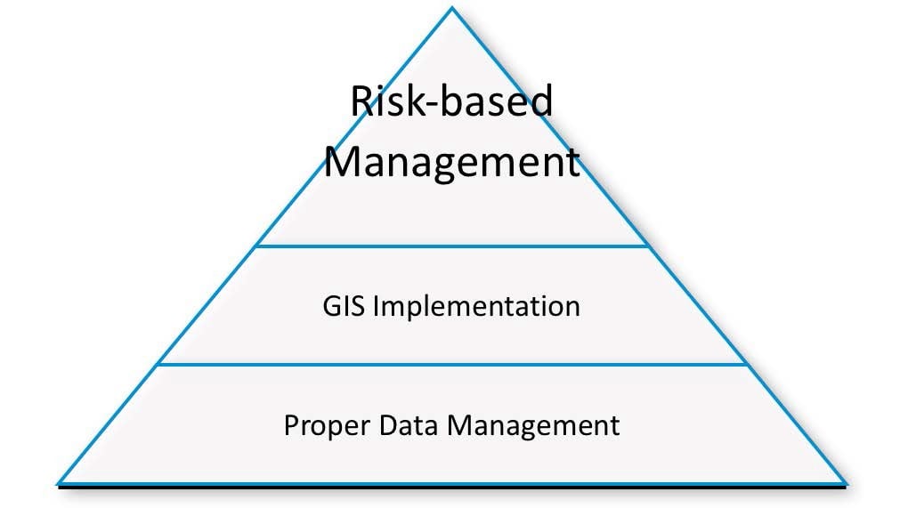
Geographic Information Systems (GIS) are computer systems that allow a person to map or model large amounts of data based on location. The technology allows users to create multi-layered maps that can track multiple types of data. These systems are able to do this by using coordinates listed in a table, or by using satellite data, and different sets of data can be layered on top of each other. In the oil and gas industry, GIS is extremely useful when mapping out long pipelines or determining spacing between different drill sites, among other things. GIS technology is used in a number of other industries.
Is this definition incomplete? You can help by contributing to it.
Topic Tools
Share this Topic
Contribute to Definition
We welcome updates to this Integripedia definition from the Inspectioneering community. Click the link below to open a form that will allow you to make adjustments to the definition and submit them to the Inspectioneering staff.
Contribute to Definition-
A New Trend for Pipeline Integrity Management: How GIS and Risk-Based Asset Management (RBA) Integration Can Improve Pipeline Management
-
January/February 2015 Inspectioneering JournalBy Layne Tucker at EchoRFID, Jim Anspach at Cardno, Inc., and Steve Slusarenko at ProStar Geocorp, Inc.
In the Oil & Gas business we have hundreds of event process chains, each of which bears a cost and contains certain elements of risk. So what can we do to reduce our burden and improve our business? Let’s take a look at the current state of...
-
NewsNational Transportation Safety Board, January 27, 2015
The National Transportation Safety Board today adopted a safety study on integrity management of gas transmission pipelines in high consequence areas. Integrity management is the process by which pipeline operators and inspectors find and address...